


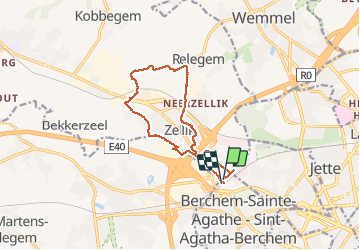

12,8 km | 15,1 km-effort

Benutzer GUIDE


Kostenlosegpshiking-Anwendung
 SityTrail
IGN / Geografische Institute
SityTrail World
Die Welt öffnet sich für Sie
Tour Wandern von 10,8 km verfügbar auf Brüssel-Hauptstadt, Unbekannt, Berchem-Sainte-Agathe - Sint-Agatha-Berchem. Diese Tour wird von rvapeldo vorgeschlagen.
Un petit tour près de la maison, en ces temps de confinement. Par les chemins agricoles, les rues désertes (ou presque). Ai repéré les moutons que l’on aperçoit de temps à autre au bord du Ring, près de l’autoroute de la mer, comme une image venue de loin.


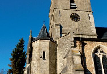
Wandern
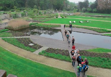
Wandern

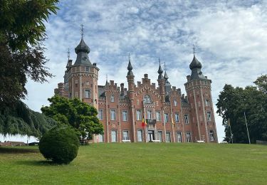
Wandern
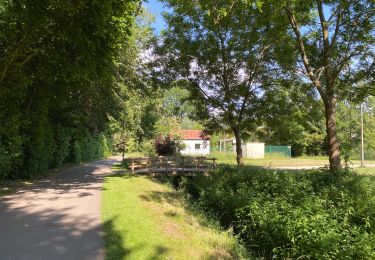
Wandern
Wandern

Wandern
Wandern
Wandern
Wandern